-
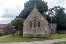
St John the Baptist Church, Levisham, Yorkshire
-
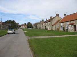
Levisham village
St John the Baptist Church, Levisham, Yorkshire
Levisham village
Location and coordinates are for the approximate centre of Levisham within this administrative area. Geographic features and populated places may cross administrative borders.