-
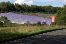
Purple polytunnels near Scone
-
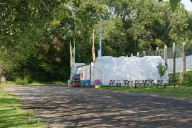
The Strawberry Shop, near Scone
Purple polytunnels near Scone
The Strawberry Shop, near Scone
Location and coordinates are for the approximate centre of Lethendy Plantation within this administrative area. Geographic features and populated places may cross administrative borders.