-
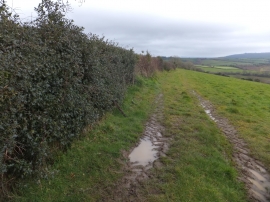
Holly hedge above Woodbrooke Farm
-

Field with a view to the Teign valley
Holly hedge above Woodbrooke Farm
Field with a view to the Teign valley
Location and coordinates are for the approximate centre of Lessonpark Copse within this administrative area. Geographic features and populated places may cross administrative borders.