-

Canvey Point path, near Leighbeck Point
-
Footpath to Canvey Point
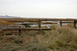
Canvey Point path, near Leighbeck Point
Footpath to Canvey Point
Location and coordinates are for the approximate centre of Leighbeck Point within this administrative area. Geographic features and populated places may cross administrative borders.