-

Stubble field, north-east of Sandwith Lane
-
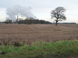
Tree on a former field boundary, east of Sandwith Lane
Stubble field, north-east of Sandwith Lane
Tree on a former field boundary, east of Sandwith Lane
Location and coordinates are for the approximate centre of Lee's Carr Wood within this administrative area. Geographic features and populated places may cross administrative borders.