-
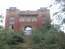
Winding House at Ledston Luck
-

Looking south along Ridge Road
Winding House at Ledston Luck
Looking south along Ridge Road
Location and coordinates are for the approximate centre of Ledston Luck within this administrative area. Geographic features and populated places may cross administrative borders.