-
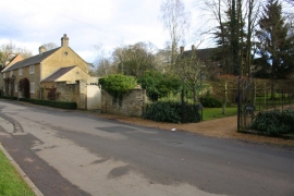
Entrances to The Old Rectory and The Coach House, Causeway
-
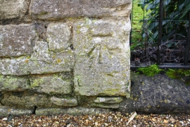
Benchmark on Causeway wall at The Old Rectory entrance
Entrances to The Old Rectory and The Coach House, Causeway
Benchmark on Causeway wall at The Old Rectory entrance
Location and coordinates are for the approximate centre of Ledger's Spinney within this administrative area. Geographic features and populated places may cross administrative borders.