-
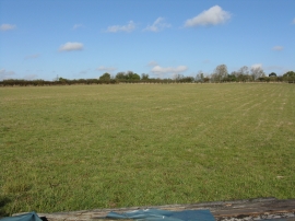
Large field north of the lane junction
-
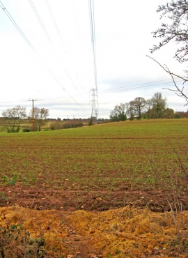
Field with electricity pylon
Large field north of the lane junction
Field with electricity pylon
Location and coordinates are for the approximate centre of Leapgate within this administrative area. Geographic features and populated places may cross administrative borders.