-
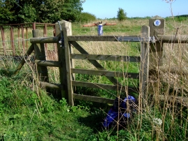
Can and rucksack by gate
-
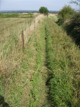
Bridleway to Turnpike Cottage east of Tarrant Hinton
Can and rucksack by gate
Bridleway to Turnpike Cottage east of Tarrant Hinton
Location and coordinates are for the approximate centre of Launceston Down within this administrative area. Geographic features and populated places may cross administrative borders.