-
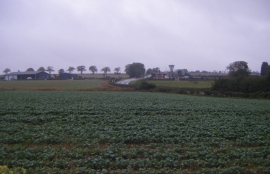
Crop field, Laughton
-
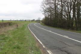
A15 towards Folkingham
Crop field, Laughton
A15 towards Folkingham
Location and coordinates are for the approximate centre of Laughton within this administrative area. Geographic features and populated places may cross administrative borders.