-
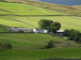
Grobdale of Girthon
-
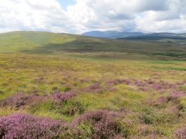
Meanders on Grobdale Lane from the lower slopes of Clack Hill
Grobdale of Girthon
Meanders on Grobdale Lane from the lower slopes of Clack Hill
Location and coordinates are for the approximate centre of Laughenghie Hill within this administrative area. Geographic features and populated places may cross administrative borders.