-

View towards Langar Lane Covert
-
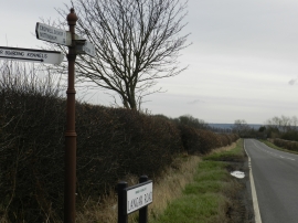
Road to Langar, with road sign
View towards Langar Lane Covert
Road to Langar, with road sign
Location and coordinates are for the approximate centre of Langar Lane Covert within this administrative area. Geographic features and populated places may cross administrative borders.