-

Fields and walls
-
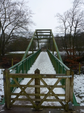
Ridge Mill Bridge.
Fields and walls
Ridge Mill Bridge.
Location and coordinates are for the approximate centre of Lane Ends within this administrative area. Geographic features and populated places may cross administrative borders.