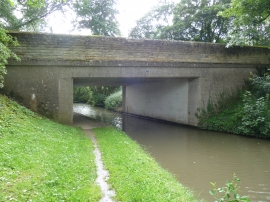
Landing Spinney, Northamptonshire

« Gazetteer Entry
Upload Photo

Landing Spinney, Northamptonshire

  • Parish/Community: Brockhall
  • District/Borough: Daventry
  • County: Northamptonshire
  • Region: East Midlands
  • Category: Landcover
  • Type: Forest or Wood
  • Latitude/Longitude: 52°14'52"N 1°5'2"W
  • Eastings/Northings: 462642, 261476
  • OS Grid: SP626614
  • Mapcode Local: GBR 9TP.2SC
  • Mapcode Global: VHCVF.5RBM

Location and coordinates are for the approximate centre of Landing Spinney within this administrative area. Geographic features and populated places may cross administrative borders.

BritishPlaceNames.uk is a Good Stuff website.