-
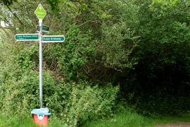
Crossing of the Ways, Landguard, Isle of Wight
-
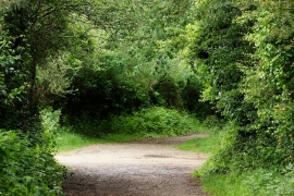
Along the Byway, Landguard, Isle of Wight
Crossing of the Ways, Landguard, Isle of Wight
Along the Byway, Landguard, Isle of Wight
Location and coordinates are for the approximate centre of Landguard Manor within this administrative area. Geographic features and populated places may cross administrative borders.