-
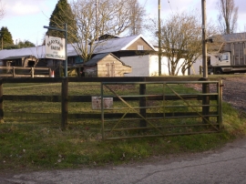
Mayfair Farm on Churt Road
-
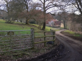
Footpath from Churt Road to Whitmoor Vale
Mayfair Farm on Churt Road
Footpath from Churt Road to Whitmoor Vale
Location and coordinates are for the approximate centre of Land of Nod Wood within this administrative area. Geographic features and populated places may cross administrative borders.