-
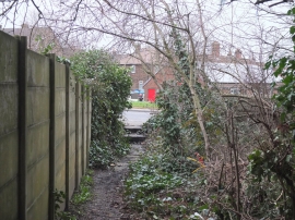
End of path between Drummer's Lane and Wigan Road at Bryn
-
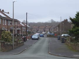
Patterdale Road, Land Gate, Bryn
End of path between Drummer's Lane and Wigan Road at Bryn
Patterdale Road, Land Gate, Bryn
Location and coordinates are for the approximate centre of Land Gate within this administrative area. Geographic features and populated places may cross administrative borders.