-
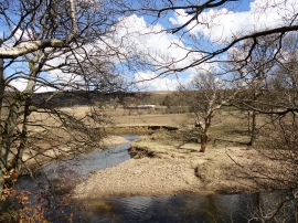
View of the Browney
-
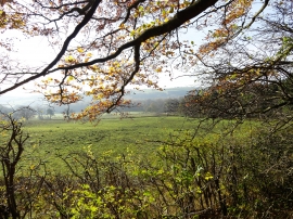
Fields south of the Lanchester road
View of the Browney
Fields south of the Lanchester road
Location and coordinates are for the approximate centre of Lanchester Valley within this administrative area. Geographic features and populated places may cross administrative borders.