-
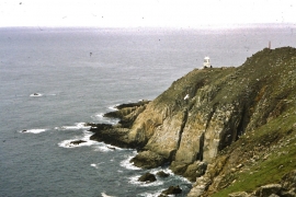
Lundy, The Sentinels
-
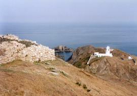
Lundy 1995: South Lighthouse
Lundy, The Sentinels
Lundy 1995: South Lighthouse
Location and coordinates are for the approximate centre of Lametry Beach within this administrative area. Geographic features and populated places may cross administrative borders.