-
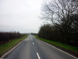
Beverley Road towards Withernwick
-
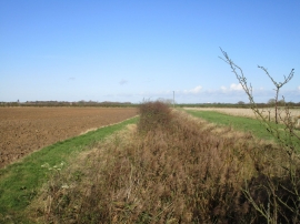
Catchwater Drain
Beverley Road towards Withernwick
Catchwater Drain
Location and coordinates are for the approximate centre of Lambwath Stream within this administrative area. Geographic features and populated places may cross administrative borders.