-
The Solent : Wootton Creek
-
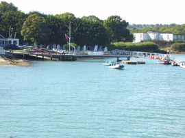
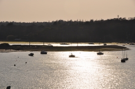
The mouth of Wootton Creek
The Solent : Wootton Creek
The mouth of Wootton Creek
Location and coordinates are for the approximate centre of Lambsleaze Copse within this administrative area. Geographic features and populated places may cross administrative borders.