-
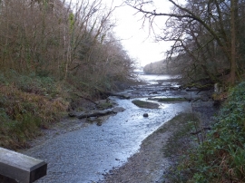
Looking down Lamouth Creek from a footbridge
-

Bridge at the head of Lamouth Creek
Looking down Lamouth Creek from a footbridge
Bridge at the head of Lamouth Creek
Location and coordinates are for the approximate centre of Lambsclose Plantation within this administrative area. Geographic features and populated places may cross administrative borders.