-

Near Breckney Farm
-
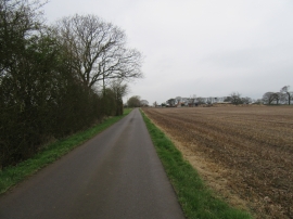
Low Moor Farm ahead
Near Breckney Farm
Low Moor Farm ahead
Location and coordinates are for the approximate centre of Lambert's Plantation within this administrative area. Geographic features and populated places may cross administrative borders.