-
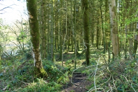
Path through Wood on Lamb Island
-
Threave Estate, The Blue Trail on Lamb Island
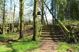
Path through Wood on Lamb Island
Threave Estate, The Blue Trail on Lamb Island
Location and coordinates are for the approximate centre of Lamb Island within this administrative area. Geographic features and populated places may cross administrative borders.