-

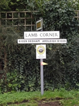
B1029, Birchwood Road, Lambs Corner
-
Roadsign on the B1029 Grove Hill
B1029, Birchwood Road, Lambs Corner
Roadsign on the B1029 Grove Hill
Other current and historical names
Location and coordinates are for the approximate centre of Lamb Corner within this administrative area. Geographic features and populated places may cross administrative borders.