-
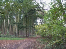
Damerham, Biddlesgate Copse
-
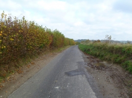
Damerham, Cranborne Road
Damerham, Biddlesgate Copse
Damerham, Cranborne Road
Location and coordinates are for the approximate centre of Lagbottom Copse within this administrative area. Geographic features and populated places may cross administrative borders.