-
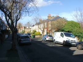
Phoebeth Road, Ladywell
-
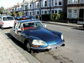
Classic 1974 Citroen DS, Chudleigh Road, Ladywell
Phoebeth Road, Ladywell
Classic 1974 Citroen DS, Chudleigh Road, Ladywell
Other current and historical names
Location and coordinates are for the approximate centre of Ladywell within this administrative area. Geographic features and populated places may cross administrative borders.