-
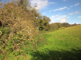
Field between Shadrack and Afton
-
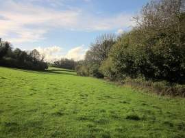
Field beside Park Corner Copse
Field between Shadrack and Afton
Field beside Park Corner Copse
Location and coordinates are for the approximate centre of Lady Park Copse within this administrative area. Geographic features and populated places may cross administrative borders.