-
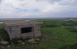
Colli Ness, Sanday, Orkney
-

Cata Sand, Sanday, Orkney
Colli Ness, Sanday, Orkney
Cata Sand, Sanday, Orkney
Location and coordinates are for the approximate centre of Lady within this administrative area. Geographic features and populated places may cross administrative borders.