-

Pipe Green, Lichfield
-
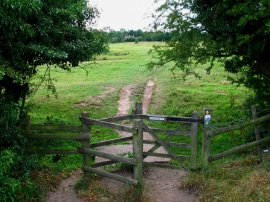
Pipe Green Footpath
Pipe Green, Lichfield
Pipe Green Footpath
Location and coordinates are for the approximate centre of Lady Muriel's Belt within this administrative area. Geographic features and populated places may cross administrative borders.