-
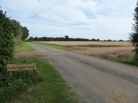
Entrance to Lady Lamb Farm
-
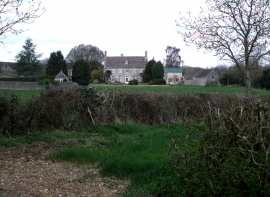
Furzey Hill Farmhouse
Entrance to Lady Lamb Farm
Furzey Hill Farmhouse
Location and coordinates are for the approximate centre of Lady Lamb's Copse within this administrative area. Geographic features and populated places may cross administrative borders.