-

Monkhill Housing Estate, Pontefract
-
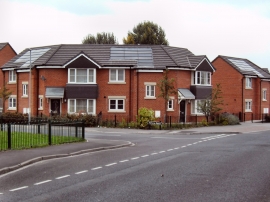
Energy efficient housing at Pontefract West Yorkshire
Monkhill Housing Estate, Pontefract
Energy efficient housing at Pontefract West Yorkshire
Location and coordinates are for the approximate centre of Lady Balk within this administrative area. Geographic features and populated places may cross administrative borders.