-

Oil container? - Pachington Farm
-
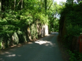
Middleton - Former Railway Bridge
Oil container? - Pachington Farm
Middleton - Former Railway Bridge
Location and coordinates are for the approximate centre of Ladies' House Copse within this administrative area. Geographic features and populated places may cross administrative borders.