-
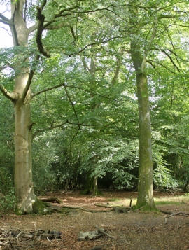
2010 : Beech trees on the edge of Lower Woods
-
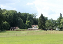
2010 : Field and paddock , East Woodlands
2010 : Beech trees on the edge of Lower Woods
2010 : Field and paddock , East Woodlands
Location and coordinates are for the approximate centre of Ladd's Planting within this administrative area. Geographic features and populated places may cross administrative borders.