-
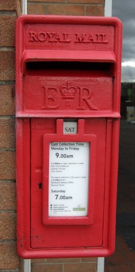
Close up, Elizabeth II postbox, Lach Dennis Service Station
-
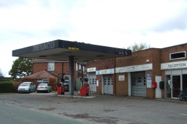
Lach Dennis Service Station
Close up, Elizabeth II postbox, Lach Dennis Service Station
Lach Dennis Service Station
Location and coordinates are for the approximate centre of Lach Dennis within this administrative area. Geographic features and populated places may cross administrative borders.