-
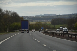
Stirling : The M9
-
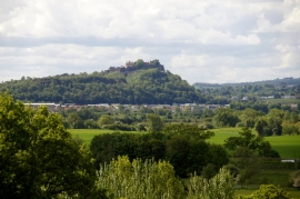
Stirling Castle from Knockhill, Bridge of Allan
Stirling : The M9
Stirling Castle from Knockhill, Bridge of Allan
Location and coordinates are for the approximate centre of Knock Hill within this administrative area. Geographic features and populated places may cross administrative borders.