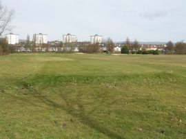
Knightswood, Glasgow City

« Gazetteer Entry
Upload Photo

Knightswood, Glasgow City

  • Unitary Authority: Glasgow City
  • Region: Scotland
  • Category: Populated Place
  • Type: Suburban Area
  • Latitude/Longitude: 55°53'45"N 4°21'37"W
  • Eastings/Northings: 252500, 669500
  • OS Grid: NS525695
  • Mapcode Local: GBR 3M.1KW8
  • Mapcode Global: WH3P0.Z2SD

Location and coordinates are for the approximate centre of Knightswood within this administrative area. Geographic features and populated places may cross administrative borders.

BritishPlaceNames.uk is a Good Stuff website.