-

The Fenland Crematorium, Knight's End Road, March
-
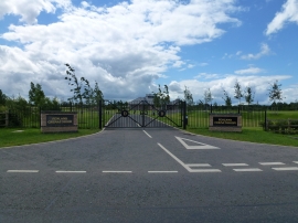
The gates to Fenland Crematorium
The Fenland Crematorium, Knight's End Road, March
The gates to Fenland Crematorium
Location and coordinates are for the approximate centre of Knight's End within this administrative area. Geographic features and populated places may cross administrative borders.