-
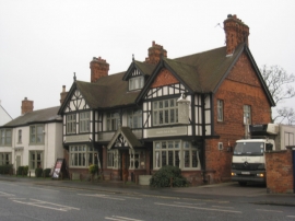
The Fox and Roman
-
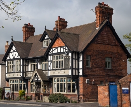
The Fox & Roman
The Fox and Roman
The Fox & Roman
Other current and historical names
Location and coordinates are for the approximate centre of Knavesmire within this administrative area. Geographic features and populated places may cross administrative borders.