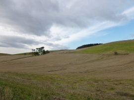
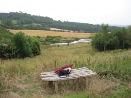
Kitchen Wood, Fife

« Gazetteer Entry
Upload Photo

Kitchen Wood, Fife

  • Unitary Authority: Fife
  • Region: Scotland
  • Category: Landcover
  • Type: Forest or Wood
  • Latitude/Longitude: 56°22'4"N 3°8'50"W
  • Eastings/Northings: 329222, 720097
  • OS Grid: NO292200
  • Mapcode Local: GBR 2B.2LWC
  • Mapcode Global: WH6QP.M6GM

Location and coordinates are for the approximate centre of Kitchen Wood within this administrative area. Geographic features and populated places may cross administrative borders.

BritishPlaceNames.uk is a Good Stuff website.