-
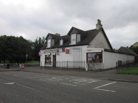
A village shop at Blackwood
-
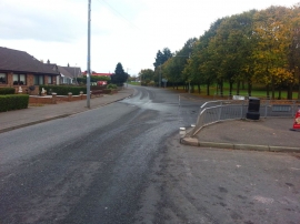
Kirkmuirhill, Carlisle Road
A village shop at Blackwood
Kirkmuirhill, Carlisle Road
Other current and historical names
Location and coordinates are for the approximate centre of Kirkmuirhill within this administrative area. Geographic features and populated places may cross administrative borders.