-
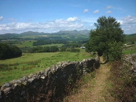
Walled track to Far Houses
-
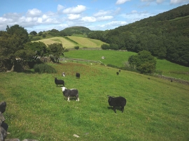
The valley of Press Beck
Walled track to Far Houses
The valley of Press Beck
Location and coordinates are for the approximate centre of Kirkby Park Wood within this administrative area. Geographic features and populated places may cross administrative borders.