-
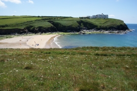
Grassy hillside above Poldhu Cove
-
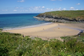
Poldhu Cove
Grassy hillside above Poldhu Cove
Poldhu Cove
Location and coordinates are for the approximate centre of Kinsale Rock within this administrative area. Geographic features and populated places may cross administrative borders.