-
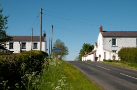
Road entering Kinninvie from the south
-
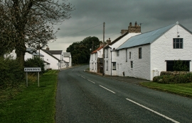
Kinninvie
Road entering Kinninvie from the south
Kinninvie
Location and coordinates are for the approximate centre of Kinninvie within this administrative area. Geographic features and populated places may cross administrative borders.