-

Level Crossing on Eastern Avenue, Shoreham, Sussex
-
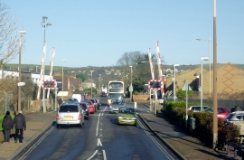
Level crossing in Shoreham-on-Sea, West Sussex
Level Crossing on Eastern Avenue, Shoreham, Sussex
Level crossing in Shoreham-on-Sea, West Sussex
Other current and historical names
Location and coordinates are for the approximate centre of Kingston by Sea within this administrative area. Geographic features and populated places may cross administrative borders.