-

Northampton University and old racecourse: aerial 2014
-
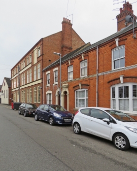
Northampton: John Lobb's Westminster Works
Northampton University and old racecourse: aerial 2014
Northampton: John Lobb's Westminster Works
Other current and historical names
Location and coordinates are for the approximate centre of Kingsthorpe Hollow within this administrative area. Geographic features and populated places may cross administrative borders.