-
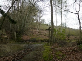
Looking up to houses on Marley Heights
-
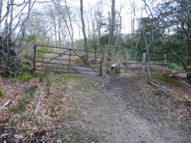
Stile and gate below Marley Heights
Looking up to houses on Marley Heights
Stile and gate below Marley Heights
Location and coordinates are for the approximate centre of Kingsley Copse within this administrative area. Geographic features and populated places may cross administrative borders.