-
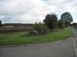
Flat Landscape at Road Junction
-
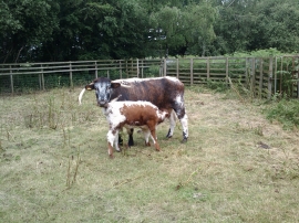
Cows on Skipwith Common Nature Reserve, North Yorkshire
Flat Landscape at Road Junction
Cows on Skipwith Common Nature Reserve, North Yorkshire
Location and coordinates are for the approximate centre of King Rudding Field within this administrative area. Geographic features and populated places may cross administrative borders.