-
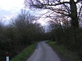
Deadman's Lane, Benhall
-
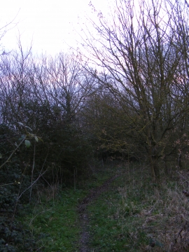
Footpath to Glemham Road
Deadman's Lane, Benhall
Footpath to Glemham Road
Location and coordinates are for the approximate centre of King Edward's Coronation Wood within this administrative area. Geographic features and populated places may cross administrative borders.