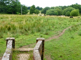
Kiln Copse, Surrey

« Gazetteer Entry
Upload Photo

Kiln Copse, Surrey

  • Parish/Community: Normandy
  • District/Borough: Guildford
  • County: Surrey
  • Region: South East
  • Category: Landcover
  • Type: Forest or Wood
  • Latitude/Longitude: 51°15'46"N 0°39'50"W
  • Eastings/Northings: 493303, 152389
  • OS Grid: SU933523
  • Mapcode Local: GBR FC1.LXD
  • Mapcode Global: VHFVD.FJR4

Location and coordinates are for the approximate centre of Kiln Copse within this administrative area. Geographic features and populated places may cross administrative borders.

BritishPlaceNames.uk is a Good Stuff website.